Turf war on the dockside at Annalong
Introduction
The photograph on this page of Turf war on the dockside at Annalong by Eric Jones as part of the Geograph project.
The Geograph project started in 2005 with the aim of publishing, organising and preserving representative images for every square kilometre of Great Britain, Ireland and the Isle of Man.

There are currently over 7.5m images from over 14,400 individuals and you can help contribute to the project by visiting https://www.geograph.org.uk
Turf war on the dockside at Annalong
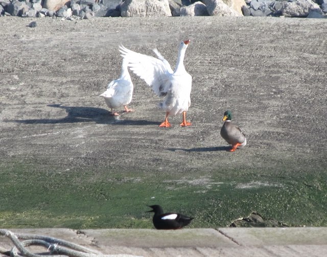
Image: © Eric Jones Taken: 16 Mar 2011
The gander rules the roost on the north side of the dock. This parallels the sectarian divisions in the town with Republican emblems and graffiti to the north and Loyalist emblems and graffiti to the south.
Images are licensed for reuse under creativecommons.org/licenses/by-sa/2.0
Image Location
Latitude
54.108827
Longitude
-5.896079