Monte Verita, Ceunant
Introduction
The photograph on this page of Monte Verita, Ceunant by Eric Jones as part of the Geograph project.
The Geograph project started in 2005 with the aim of publishing, organising and preserving representative images for every square kilometre of Great Britain, Ireland and the Isle of Man.

There are currently over 7.5m images from over 14,400 individuals and you can help contribute to the project by visiting https://www.geograph.org.uk
Monte Verita, Ceunant
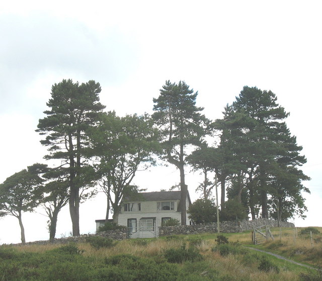
Image: © Eric Jones Taken: 12 Aug 2006
A conifer sheltered dormer bungalow with an unusual name on an exposed spur of high ground above Fferm Hafod Rhug.
Images are licensed for reuse under creativecommons.org/licenses/by-sa/2.0
Image Location
Latitude
53.123037
Longitude
-4.204189