Canvey Island: Western Esplanade
Introduction
The photograph on this page of Canvey Island: Western Esplanade by Nigel Cox as part of the Geograph project.
The Geograph project started in 2005 with the aim of publishing, organising and preserving representative images for every square kilometre of Great Britain, Ireland and the Isle of Man.

There are currently over 7.5m images from over 14,400 individuals and you can help contribute to the project by visiting https://www.geograph.org.uk
Canvey Island: Western Esplanade
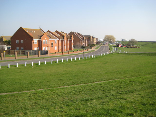
Image: © Nigel Cox Taken: 8 Mar 2011
The Western Esplanade first appeared as a road on an Ordnance Survey map of the island on the Edition of 1939, but the housing development on the left only came much later, after 1980 at least. This is the view looking towards the centre of the tourist area.
Images are licensed for reuse under creativecommons.org/licenses/by-sa/2.0
Image Location
Latitude
51.511793
Longitude
0.591142