Upper Harveys from the Essex Way
Introduction
The photograph on this page of Upper Harveys from the Essex Way by Essex Walks as part of the Geograph project.
The Geograph project started in 2005 with the aim of publishing, organising and preserving representative images for every square kilometre of Great Britain, Ireland and the Isle of Man.

There are currently over 7.5m images from over 14,400 individuals and you can help contribute to the project by visiting https://www.geograph.org.uk
Upper Harveys from the Essex Way
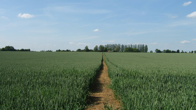
Image: © Essex Walks Taken: 12 Jun 2009
View of footpath branching north from the Essex Way, between Pleshey and Stagden Cross
Images are licensed for reuse under creativecommons.org/licenses/by-sa/2.0
Image Location
Latitude
51.814013
Longitude
0.380652