Y Graig chapel, Briton Ferry
Introduction
The photograph on this page of Y Graig chapel, Briton Ferry by Jaggery as part of the Geograph project.
The Geograph project started in 2005 with the aim of publishing, organising and preserving representative images for every square kilometre of Great Britain, Ireland and the Isle of Man.

There are currently over 7.5m images from over 14,400 individuals and you can help contribute to the project by visiting https://www.geograph.org.uk
Y Graig chapel, Briton Ferry
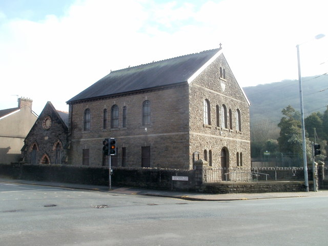
Image: © Jaggery Taken: 19 Feb 2011
Located on the corner of Ynysymaerdy Road and the A474. The date inscribed in stone is 1890 (located on the right, below the small twin windows near the top of the building).
Images are licensed for reuse under creativecommons.org/licenses/by-sa/2.0
Image Location
Latitude
51.638815
Longitude
-3.817844