Ashcott Inn and A39
Introduction
The photograph on this page of Ashcott Inn and A39 by Patrick Mackie as part of the Geograph project.
The Geograph project started in 2005 with the aim of publishing, organising and preserving representative images for every square kilometre of Great Britain, Ireland and the Isle of Man.

There are currently over 7.5m images from over 14,400 individuals and you can help contribute to the project by visiting https://www.geograph.org.uk
Ashcott Inn and A39
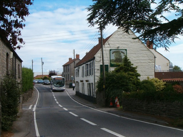
Image: © Patrick Mackie Taken: 25 Aug 2006
The A39 is a very busy road running through the village of Ashcott.
Images are licensed for reuse under creativecommons.org/licenses/by-sa/2.0
Image Location
Latitude
51.127669
Longitude
-2.8102