The road to Langley Marish from Middle Green
Introduction
The photograph on this page of The road to Langley Marish from Middle Green by Stefan Czapski as part of the Geograph project.
The Geograph project started in 2005 with the aim of publishing, organising and preserving representative images for every square kilometre of Great Britain, Ireland and the Isle of Man.

There are currently over 7.5m images from over 14,400 individuals and you can help contribute to the project by visiting https://www.geograph.org.uk
The road to Langley Marish from Middle Green
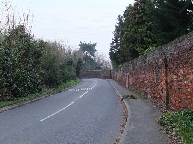
Image: © Stefan Czapski Taken: 15 Mar 2011
Looking south from near the road junction shown in Jonathan Billinger's Image The one point of interest is the old brick wall. I suspect there was once a substantial farmhouse (a 'Manor Farm' ?) somewhere nearby. All that seems to be left is a minor farm building, a little further west.
Images are licensed for reuse under creativecommons.org/licenses/by-sa/2.0
Image Location
Latitude
51.511878
Longitude
-0.559648