Mires Lane
Introduction
The photograph on this page of Mires Lane by Christine Johnstone as part of the Geograph project.
The Geograph project started in 2005 with the aim of publishing, organising and preserving representative images for every square kilometre of Great Britain, Ireland and the Isle of Man.

There are currently over 7.5m images from over 14,400 individuals and you can help contribute to the project by visiting https://www.geograph.org.uk
Mires Lane
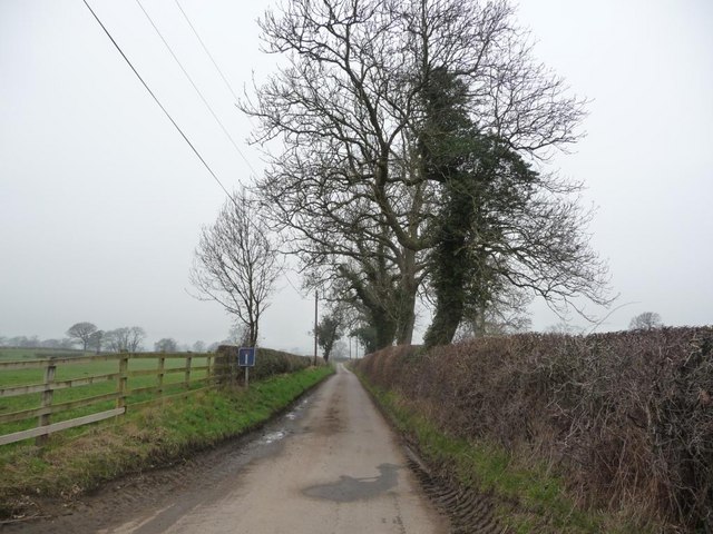
Image: © Christine Johnstone Taken: 15 Mar 2011
Leading to many long narrow fields which are prone to flooding.
Images are licensed for reuse under creativecommons.org/licenses/by-sa/2.0
Image Location
Latitude
54.244534
Longitude
-1.545744