P?irc Mhig Loingsigh, Straw
Introduction
The photograph on this page of P?irc Mhig Loingsigh, Straw by Kenneth Allen as part of the Geograph project.
The Geograph project started in 2005 with the aim of publishing, organising and preserving representative images for every square kilometre of Great Britain, Ireland and the Isle of Man.

There are currently over 7.5m images from over 14,400 individuals and you can help contribute to the project by visiting https://www.geograph.org.uk
P?irc Mhig Loingsigh, Straw
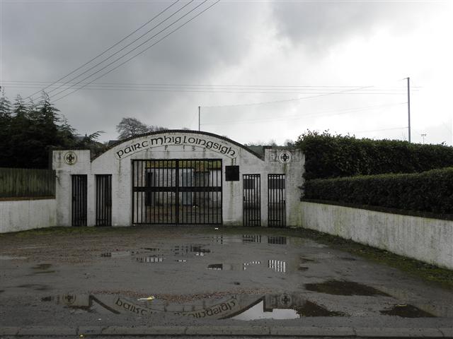
Image: © Kenneth Allen Taken: 14 Mar 2011
It is located at Sixtowns Road See close-up of logos here Image]
Images are licensed for reuse under creativecommons.org/licenses/by-sa/2.0
Image Location
Latitude
54.784036
Longitude
-6.805036