Lerryn Bridge
Introduction
The photograph on this page of Lerryn Bridge by Derek Harper as part of the Geograph project.
The Geograph project started in 2005 with the aim of publishing, organising and preserving representative images for every square kilometre of Great Britain, Ireland and the Isle of Man.

There are currently over 7.5m images from over 14,400 individuals and you can help contribute to the project by visiting https://www.geograph.org.uk
Lerryn Bridge
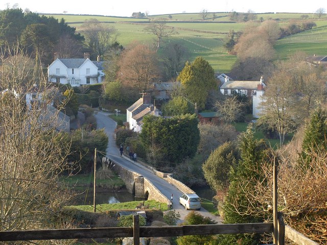
Image: © Derek Harper Taken: 6 Mar 2011
The bridge http://www.britishlistedbuildings.co.uk/en-60622-lerryn-bridge-st-veep seen from the Giants Hedge. Crossing it is the lane to Lostwithiel; the junction by the cottages is with the right turn to Couch's Mill.
Images are licensed for reuse under creativecommons.org/licenses/by-sa/2.0
Image Location
Latitude
50.384779
Longitude
-4.616454