2011 : Rookery Farm
Introduction
The photograph on this page of 2011 : Rookery Farm by Maurice Pullin as part of the Geograph project.
The Geograph project started in 2005 with the aim of publishing, organising and preserving representative images for every square kilometre of Great Britain, Ireland and the Isle of Man.

There are currently over 7.5m images from over 14,400 individuals and you can help contribute to the project by visiting https://www.geograph.org.uk
2011 : Rookery Farm
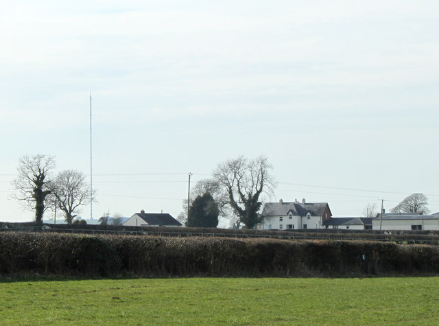
Image: © Maurice Pullin Taken: 14 Mar 2011
Seen from the top (western) end of Binegar Bottom. The Mendip TV transmitter on Pen Hill Image is to the left.
Images are licensed for reuse under creativecommons.org/licenses/by-sa/2.0
Image Location


Leaflet Map data © OpenStreetMap
Latitude
51.231791
Longitude
-2.566827