Wath hump Marshalling Yard
Introduction
The photograph on this page of Wath hump Marshalling Yard by Rob Newman as part of the Geograph project.
The Geograph project started in 2005 with the aim of publishing, organising and preserving representative images for every square kilometre of Great Britain, Ireland and the Isle of Man.

There are currently over 7.5m images from over 14,400 individuals and you can help contribute to the project by visiting https://www.geograph.org.uk
Wath hump Marshalling Yard
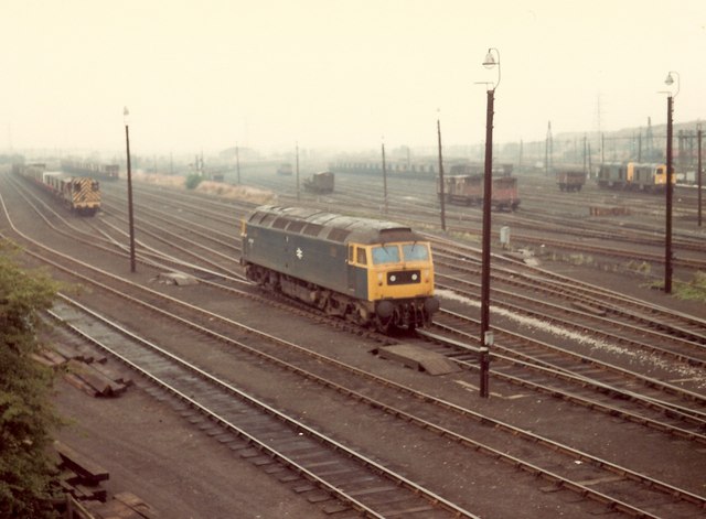
Image: © Rob Newman Taken: 28 Aug 1981
A general view of the former wath marshalling yard, known locally as 'The Hump' taken from Moor Rd bridge. The nearest locomotive is Class 47 No 47307. The photograph was taken on 28 August 1981. This area is now a by pass road and nature reserve.
Images are licensed for reuse under creativecommons.org/licenses/by-sa/2.0
Image Location
Latitude
53.508032
Longitude
-1.34497