Footpath approaching Earsham Dam
Introduction
The photograph on this page of Footpath approaching Earsham Dam by Glen Denny as part of the Geograph project.
The Geograph project started in 2005 with the aim of publishing, organising and preserving representative images for every square kilometre of Great Britain, Ireland and the Isle of Man.

There are currently over 7.5m images from over 14,400 individuals and you can help contribute to the project by visiting https://www.geograph.org.uk
Footpath approaching Earsham Dam
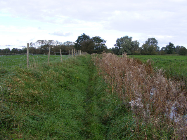
Image: © Glen Denny Taken: 17 Oct 2010
A signposted footpath, not shown on the map, runs from Earsham Dam to the vicinity of Earsham Mill, following the drainage channel. This is the view towards the Earsham Dam of the footpath, with a drainage channel on the right that the footpath follows for its entire length.
Images are licensed for reuse under creativecommons.org/licenses/by-sa/2.0
Image Location
Latitude
52.454133
Longitude
1.426035