Southeast London: Love Lane footpath
Introduction
The photograph on this page of Southeast London: Love Lane footpath by Dr Neil Clifton as part of the Geograph project.
The Geograph project started in 2005 with the aim of publishing, organising and preserving representative images for every square kilometre of Great Britain, Ireland and the Isle of Man.

There are currently over 7.5m images from over 14,400 individuals and you can help contribute to the project by visiting https://www.geograph.org.uk
Southeast London: Love Lane footpath
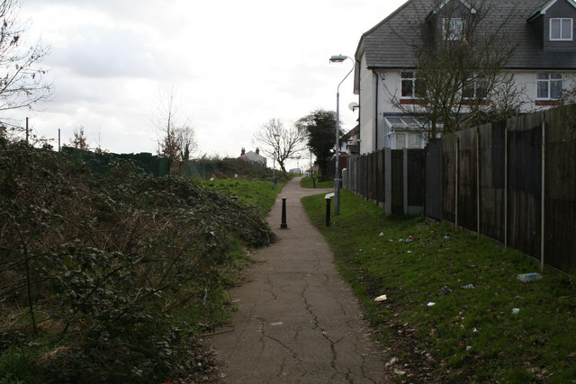
Image: © Dr Neil Clifton Taken: 11 Mar 2011
Looking south east. This footpath runs south east from the southern end of the under-railway passage from Cambridge Road Image It connects to the rest of Love Lane, which is actually a road, leading to the Harrington Road tram stop.
Images are licensed for reuse under creativecommons.org/licenses/by-sa/2.0
Image Location
Latitude
51.400678
Longitude
-0.062704