Northern end of Newton Burgoland
Introduction
The photograph on this page of Northern end of Newton Burgoland by Christine Johnstone as part of the Geograph project.
The Geograph project started in 2005 with the aim of publishing, organising and preserving representative images for every square kilometre of Great Britain, Ireland and the Isle of Man.

There are currently over 7.5m images from over 14,400 individuals and you can help contribute to the project by visiting https://www.geograph.org.uk
Northern end of Newton Burgoland
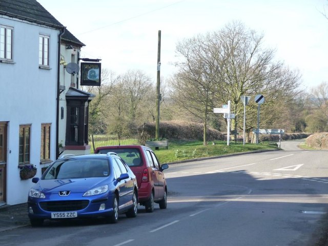
Image: © Christine Johnstone Taken: 13 Mar 2011
Main Street bends left into Snarestone Lane, past one of the two village pubs.
Images are licensed for reuse under creativecommons.org/licenses/by-sa/2.0
Image Location
Latitude
52.679883
Longitude
-1.456674