Glenfield Road
Introduction
The photograph on this page of Glenfield Road by Lairich Rig as part of the Geograph project.
The Geograph project started in 2005 with the aim of publishing, organising and preserving representative images for every square kilometre of Great Britain, Ireland and the Isle of Man.

There are currently over 7.5m images from over 14,400 individuals and you can help contribute to the project by visiting https://www.geograph.org.uk
Glenfield Road
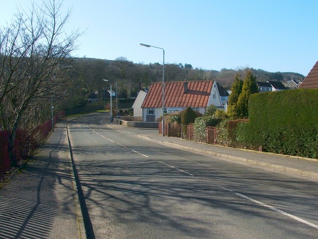
Image: © Lairich Rig Taken: 28 Feb 2011
This is the same road as shown in Image, but the present photograph is a view in the opposite direction; in addition, it was taken from a point about 20 metres further to the SSW, so as to cross an intervening OS grid line. Not far ahead on the right is the junction with Image (from the pavement opposite that junction, I took a picture of Image). Further ahead, Glenfield Road curves out of sight, to the right; for a view around that corner, see Image
Images are licensed for reuse under creativecommons.org/licenses/by-sa/2.0
Image Location
Latitude
55.817596
Longitude
-4.424634