Glenfield Road
Introduction
The photograph on this page of Glenfield Road by Lairich Rig as part of the Geograph project.
The Geograph project started in 2005 with the aim of publishing, organising and preserving representative images for every square kilometre of Great Britain, Ireland and the Isle of Man.

There are currently over 7.5m images from over 14,400 individuals and you can help contribute to the project by visiting https://www.geograph.org.uk
Glenfield Road
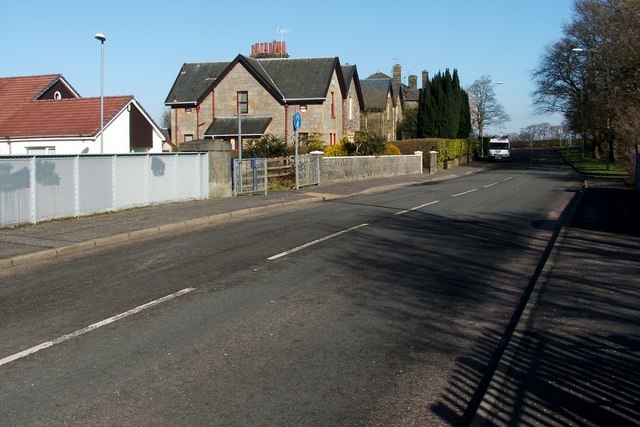
Image: © Lairich Rig Taken: 28 Feb 2011
At the end of the road (150 metres ahead, where a van is parked), is the junction with Caplethill Road. Visible not far ahead, on the left, is one of the access points to a cycle route; that access point is shown in Image and in Image For a view along the same road in the opposite direction, see Image
Images are licensed for reuse under creativecommons.org/licenses/by-sa/2.0
Image Location
Latitude
55.819429
Longitude
-4.422833