Churchyard, Fowey
Introduction
The photograph on this page of Churchyard, Fowey by Derek Harper as part of the Geograph project.
The Geograph project started in 2005 with the aim of publishing, organising and preserving representative images for every square kilometre of Great Britain, Ireland and the Isle of Man.

There are currently over 7.5m images from over 14,400 individuals and you can help contribute to the project by visiting https://www.geograph.org.uk
Churchyard, Fowey
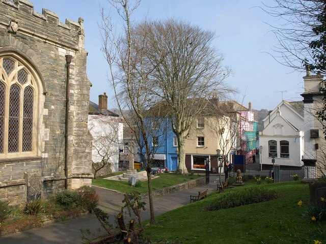
Image: © Derek Harper Taken: 5 Mar 2011
Another view of the eastern part of the churchyard shown in Image, with St Fimbarrus church on the left.
Images are licensed for reuse under creativecommons.org/licenses/by-sa/2.0
Image Location
Latitude
50.335239
Longitude
-4.635373