Southfield Avenue
Introduction
The photograph on this page of Southfield Avenue by Lairich Rig as part of the Geograph project.
The Geograph project started in 2005 with the aim of publishing, organising and preserving representative images for every square kilometre of Great Britain, Ireland and the Isle of Man.

There are currently over 7.5m images from over 14,400 individuals and you can help contribute to the project by visiting https://www.geograph.org.uk
Southfield Avenue
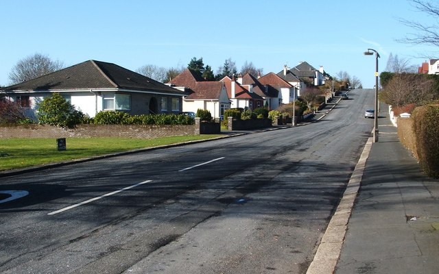
Image: © Lairich Rig Taken: 28 Feb 2011
The photograph was taken from the junction with Caplethill Road (which, about 200 metres to the NNE, becomes Neilston Road).
Images are licensed for reuse under creativecommons.org/licenses/by-sa/2.0
Image Location
Latitude
55.823013
Longitude
-4.423375