Former gravel pit at Abingdon
Introduction
The photograph on this page of Former gravel pit at Abingdon by Marathon as part of the Geograph project.
The Geograph project started in 2005 with the aim of publishing, organising and preserving representative images for every square kilometre of Great Britain, Ireland and the Isle of Man.

There are currently over 7.5m images from over 14,400 individuals and you can help contribute to the project by visiting https://www.geograph.org.uk
Former gravel pit at Abingdon
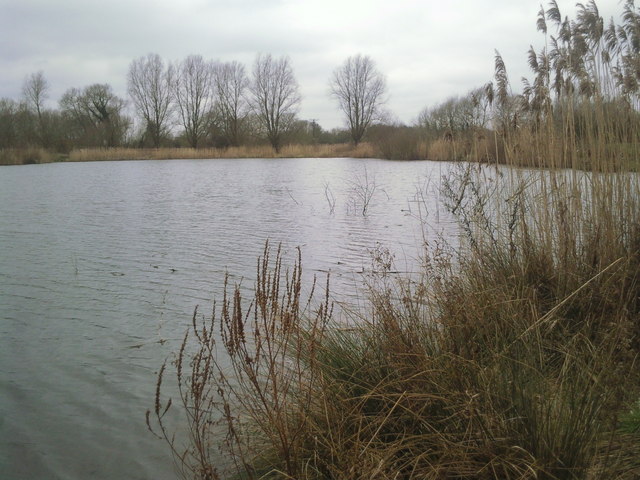
Image: © Marathon Taken: 5 Mar 2011
This flooded gravel pit next to the Thames just outside Abingdon does not show on recent Ordnance Maps. It lies just south of the cycle path which follows the route of the former Abingdon branch railway line.
Images are licensed for reuse under creativecommons.org/licenses/by-sa/2.0
Image Location
Latitude
51.670976
Longitude
-1.260736