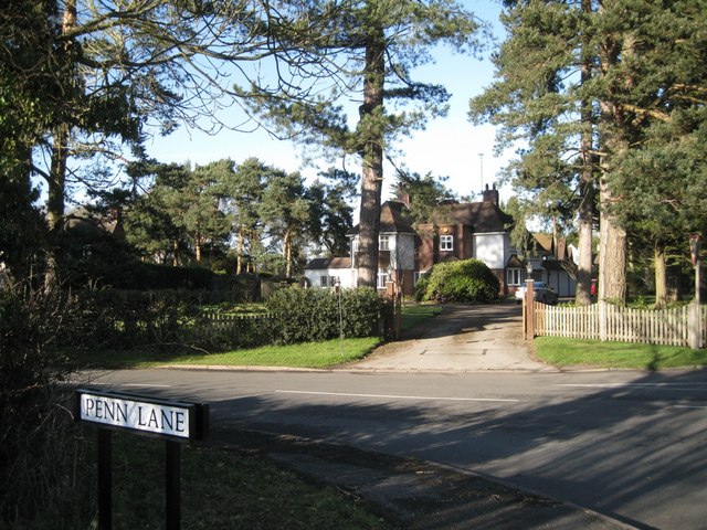
Corner of Penn Lane and B4101 Broad Lane
Introduction
The photograph on this page of Corner of Penn Lane and B4101 Broad Lane by Robin Stott as part of the Geograph project.
The Geograph project started in 2005 with the aim of publishing, organising and preserving representative images for every square kilometre of Great Britain, Ireland and the Isle of Man.
There are currently over 7.5m images from over 14,400 individuals and you can help contribute to the project by visiting https://www.geograph.org.uk

Image: © Robin Stott Taken: 13 Mar 2011
Corner of Penn Lane and Broad Lane, B4101. The large detached house, one of many lining these former country lanes, is called 'Kewstoke'. Broad Lane runs along a shallow ridge and connects the settlements of Aspley Heath, Gilbert's Green and Wood End in the sought-after B94 postcode area. With the infant river Alne to the southeast and Spring Brook to the northwest, Broad Lane thus lies on the Severn-Trent watershed.

