Canvey Island: Bommel Avenue
Introduction
The photograph on this page of Canvey Island: Bommel Avenue by Nigel Cox as part of the Geograph project.
The Geograph project started in 2005 with the aim of publishing, organising and preserving representative images for every square kilometre of Great Britain, Ireland and the Isle of Man.

There are currently over 7.5m images from over 14,400 individuals and you can help contribute to the project by visiting https://www.geograph.org.uk
Canvey Island: Bommel Avenue
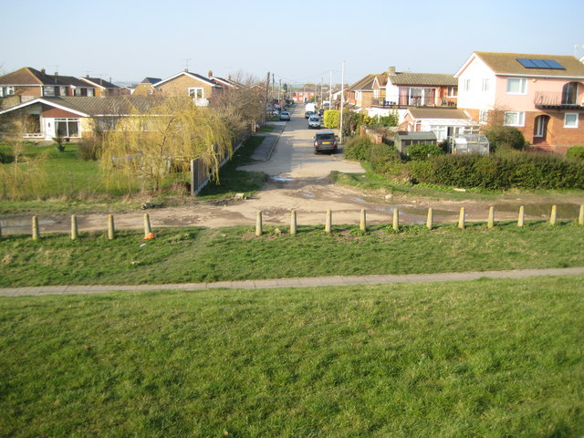
Image: © Nigel Cox Taken: 8 Mar 2011
Wikipedia states that "Approximately one-third of Canvey's streets have names of Dutch origin." This is due to the amount of Dutch skill and manpower that went into the island's land reclamation efforts of the 17th century. Well, Bommel Avenue, here, almost the nearest street to the south-eastern corner of the island, is an illustration. This is the view from the top of the sea defence wall. (The co-ordinates, not to mention the cartography, on the Ordnance Survey 1:50,000 scale mapping are somewhat flaky here, and the subject and photographer locations have consequently been taken from the "Where's the path?" website, and checked against larger scale OS mapping. About the first 10 metres of Bommel Avenue are in this grid square.)
Images are licensed for reuse under creativecommons.org/licenses/by-sa/2.0
Image Location
Latitude
51.516484
Longitude
0.622832