Pentre Lane heads WSW away from canal
Introduction
The photograph on this page of Pentre Lane heads WSW away from canal by Jaggery as part of the Geograph project.
The Geograph project started in 2005 with the aim of publishing, organising and preserving representative images for every square kilometre of Great Britain, Ireland and the Isle of Man.

There are currently over 7.5m images from over 14,400 individuals and you can help contribute to the project by visiting https://www.geograph.org.uk
Pentre Lane heads WSW away from canal
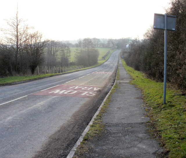
Image: © Jaggery Taken: 6 Feb 2010
Viewed from near the point where the road crosses the disused Monmouthshire & Brecon Canal, http://www.geograph.org.uk/photo/2305571 looking in the direction of Eureka Farm. http://www.geograph.org.uk/photo/350998
Images are licensed for reuse under creativecommons.org/licenses/by-sa/2.0
Image Location
Latitude
51.622348
Longitude
-3.024105