Western boundary of Talbot Green
Introduction
The photograph on this page of Western boundary of Talbot Green by Jaggery as part of the Geograph project.
The Geograph project started in 2005 with the aim of publishing, organising and preserving representative images for every square kilometre of Great Britain, Ireland and the Isle of Man.

There are currently over 7.5m images from over 14,400 individuals and you can help contribute to the project by visiting https://www.geograph.org.uk
Western boundary of Talbot Green
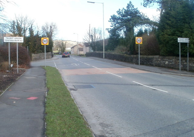
Image: © Jaggery Taken: 12 Feb 2011
Viewed along the A473 looking towards the stone bridge carrying the road above the Ely River. Talbot Green (Tonysguboriau in Welsh) is a village of about 2,500 inhabitants, part of Llantrisant Community Council in the County Borough of Rhondda Cynon Taf.
Images are licensed for reuse under creativecommons.org/licenses/by-sa/2.0
Image Location
Latitude
51.533995
Longitude
-3.395537