Confluence of the Folly and Dollis Brooks, Woodside Park
Introduction
The photograph on this page of Confluence of the Folly and Dollis Brooks, Woodside Park by Jim Osley as part of the Geograph project.
The Geograph project started in 2005 with the aim of publishing, organising and preserving representative images for every square kilometre of Great Britain, Ireland and the Isle of Man.

There are currently over 7.5m images from over 14,400 individuals and you can help contribute to the project by visiting https://www.geograph.org.uk
Confluence of the Folly and Dollis Brooks, Woodside Park
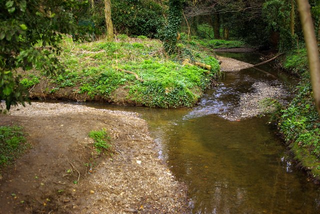
Image: © Jim Osley Taken: 12 Mar 2011
This is the point where the 3.6km long Folly Brook runs into the Dollis Brook.
Images are licensed for reuse under creativecommons.org/licenses/by-sa/2.0
Image Location
Latitude
51.617339
Longitude
-0.189029