Canvey Island: Gafzelle Drive
Introduction
The photograph on this page of Canvey Island: Gafzelle Drive by Nigel Cox as part of the Geograph project.
The Geograph project started in 2005 with the aim of publishing, organising and preserving representative images for every square kilometre of Great Britain, Ireland and the Isle of Man.

There are currently over 7.5m images from over 14,400 individuals and you can help contribute to the project by visiting https://www.geograph.org.uk
Canvey Island: Gafzelle Drive
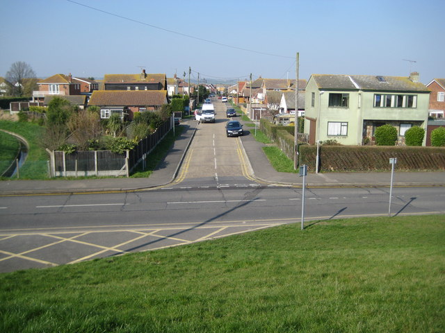
Image: © Nigel Cox Taken: 8 Mar 2011
This is the intriguingly named Gafzelle Drive viewed from the top of the sea defence wall. The Canvey Community Archive website http://canveyisland.org/page_id__1140_path__0p2p30p.aspx has several images of Gafzelle Drive taken during a freshwater flood event in 1968, some 15 years after the catastrophic seawater flood and inundation of Canvey Island in 1953.
Images are licensed for reuse under creativecommons.org/licenses/by-sa/2.0
Image Location
Latitude
51.514544
Longitude
0.609028