Summit Level
Introduction
The photograph on this page of Summit Level by Colin Smith as part of the Geograph project.
The Geograph project started in 2005 with the aim of publishing, organising and preserving representative images for every square kilometre of Great Britain, Ireland and the Isle of Man.

There are currently over 7.5m images from over 14,400 individuals and you can help contribute to the project by visiting https://www.geograph.org.uk
Summit Level
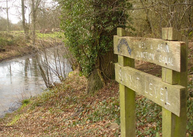
Image: © Colin Smith Taken: 12 Mar 2011
High Point on the Wey & Arun Junction Canal north of Alfold Crossways. Here, the canal is at an elevation of nearly 50 metres, 165 feet amsl. The A281 Guildford-Horsham road crosses the canal on a flat-decked bridge which will need to be rebuilt when this canal stretch is finally re-opened to navigation. www.weyandarun.co.uk
Images are licensed for reuse under creativecommons.org/licenses/by-sa/2.0
Image Location


Leaflet Map data © OpenStreetMap
Latitude
51.120156
Longitude
-0.515279