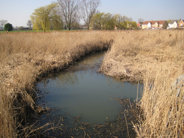
Canvey Island: Thorneycreek Fleet
Introduction
The photograph on this page of Canvey Island: Thorneycreek Fleet by Nigel Cox as part of the Geograph project.
The Geograph project started in 2005 with the aim of publishing, organising and preserving representative images for every square kilometre of Great Britain, Ireland and the Isle of Man.
There are currently over 7.5m images from over 14,400 individuals and you can help contribute to the project by visiting https://www.geograph.org.uk

Image: © Nigel Cox Taken: 8 Mar 2011
Thorneycreek Fleet is one of the main natural drains on Canvey Island. This is the view from the Thorney Bay Pumping Station where excess water is pumped out through the sea defence wall into the Thames estuary. Old Victorian Ordnance Survey maps show it as Thornycreek Fleet, without the "e", with a discharge into Thorny Bay.

