Cherry Walk, Newton Farm
Introduction
The photograph on this page of Cherry Walk, Newton Farm by Hugh Craddock as part of the Geograph project.
The Geograph project started in 2005 with the aim of publishing, organising and preserving representative images for every square kilometre of Great Britain, Ireland and the Isle of Man.

There are currently over 7.5m images from over 14,400 individuals and you can help contribute to the project by visiting https://www.geograph.org.uk
Cherry Walk, Newton Farm
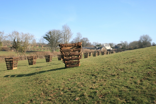
Image: © Hugh Craddock Taken: 5 Mar 2011
This cherry tree avenue has been replanted as shown on maps dating from 1880, and is part of a permissive path from Newton Farm to the National Trust's Comfort Wood, which has been made available under Environmental Stewardship access: http://cwr.naturalengland.org.uk/Default.aspx?Module=CountryWalkDetails&Site=6657 , and is due to remain available under June 2020.
Images are licensed for reuse under creativecommons.org/licenses/by-sa/2.0
Image Location
Latitude
50.499171
Longitude
-4.238214