Burgh of Pulteneytown Crest
Introduction
The photograph on this page of Burgh of Pulteneytown Crest by John MacKenzie as part of the Geograph project.
The Geograph project started in 2005 with the aim of publishing, organising and preserving representative images for every square kilometre of Great Britain, Ireland and the Isle of Man.

There are currently over 7.5m images from over 14,400 individuals and you can help contribute to the project by visiting https://www.geograph.org.uk
Burgh of Pulteneytown Crest
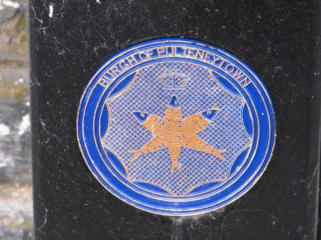
Image: © John MacKenzie Taken: 11 Mar 2011
Pultenytown, once a burgh in its own right, is now part of Wick. At one time it even had its own member of Parliament. The crest shows the importance of the herring fishery.
Images are licensed for reuse under creativecommons.org/licenses/by-sa/2.0
Image Location
Latitude
58.440424
Longitude
-3.088687