Access road to Whiting PoultryFarm
Introduction
The photograph on this page of Access road to Whiting PoultryFarm by David Anstiss as part of the Geograph project.
The Geograph project started in 2005 with the aim of publishing, organising and preserving representative images for every square kilometre of Great Britain, Ireland and the Isle of Man.

There are currently over 7.5m images from over 14,400 individuals and you can help contribute to the project by visiting https://www.geograph.org.uk
Access road to Whiting PoultryFarm
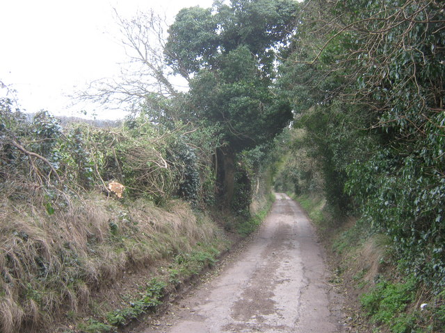
Image: © David Anstiss Taken: 6 Mar 2011
This lane leads from Old Charlton Road towards the farm. It is also the route of the North Downs Way (long distance path) leading towards the farm and onwards to Pineham.
Images are licensed for reuse under creativecommons.org/licenses/by-sa/2.0
Image Location
Latitude
51.140304
Longitude
1.309197