Country lane near Shawdon Hill.
Introduction
The photograph on this page of Country lane near Shawdon Hill. by David Clark as part of the Geograph project.
The Geograph project started in 2005 with the aim of publishing, organising and preserving representative images for every square kilometre of Great Britain, Ireland and the Isle of Man.

There are currently over 7.5m images from over 14,400 individuals and you can help contribute to the project by visiting https://www.geograph.org.uk
Country lane near Shawdon Hill.
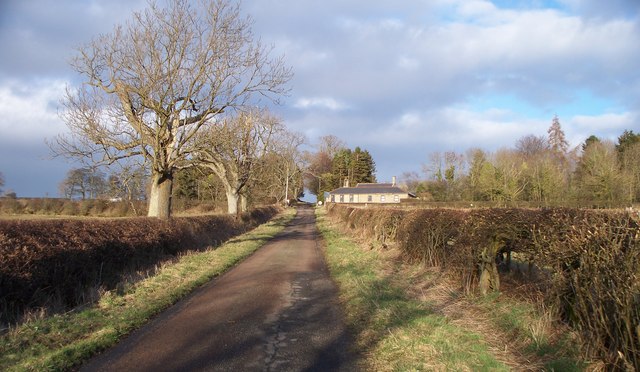
Image: © David Clark Taken: 10 Mar 2011
Looking East to the Shawdon Hill-Rothill crossroads on The A697
Images are licensed for reuse under creativecommons.org/licenses/by-sa/2.0
Image Location


Leaflet Map data © OpenStreetMap
Latitude
55.41571
Longitude
-1.870287