River Fal
Introduction
The photograph on this page of River Fal by Gerald England as part of the Geograph project.
The Geograph project started in 2005 with the aim of publishing, organising and preserving representative images for every square kilometre of Great Britain, Ireland and the Isle of Man.

There are currently over 7.5m images from over 14,400 individuals and you can help contribute to the project by visiting https://www.geograph.org.uk
River Fal
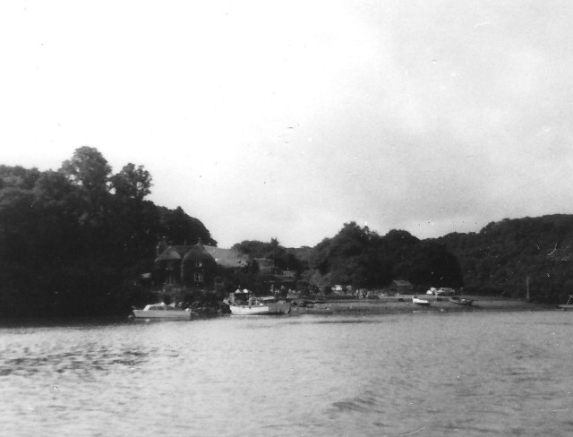
Image: © Gerald England Taken: 3 Sep 1973
The building shown is Tolverne Cottage (thanks to Fred James for this information).
Images are licensed for reuse under creativecommons.org/licenses/by-sa/2.0
Image Location
Latitude
50.222454
Longitude
-5.022434