Jockysdike Bridge
Introduction
The photograph on this page of Jockysdike Bridge by David Clark as part of the Geograph project.
The Geograph project started in 2005 with the aim of publishing, organising and preserving representative images for every square kilometre of Great Britain, Ireland and the Isle of Man.

There are currently over 7.5m images from over 14,400 individuals and you can help contribute to the project by visiting https://www.geograph.org.uk
Jockysdike Bridge
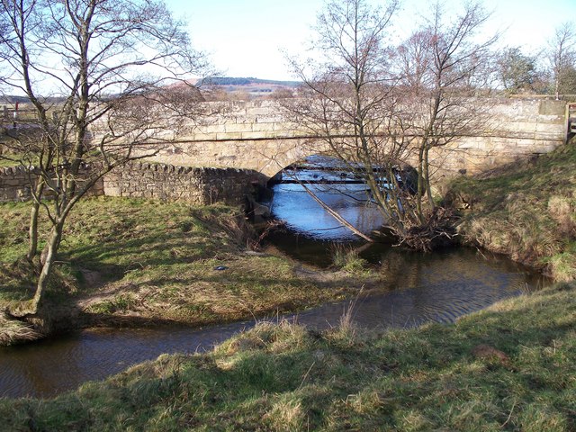
Image: © David Clark Taken: 10 Mar 2011
Looking down the Coe Burn. Note the sympathetic construction of the restraining wall on the left of the photo.
Images are licensed for reuse under creativecommons.org/licenses/by-sa/2.0
Image Location
Latitude
55.402922
Longitude
-1.845695