Sloping enclosed bridge connecting two halves of St Woolos Hospital
Introduction
The photograph on this page of Sloping enclosed bridge connecting two halves of St Woolos Hospital by Jaggery as part of the Geograph project.
The Geograph project started in 2005 with the aim of publishing, organising and preserving representative images for every square kilometre of Great Britain, Ireland and the Isle of Man.

There are currently over 7.5m images from over 14,400 individuals and you can help contribute to the project by visiting https://www.geograph.org.uk
Sloping enclosed bridge connecting two halves of St Woolos Hospital
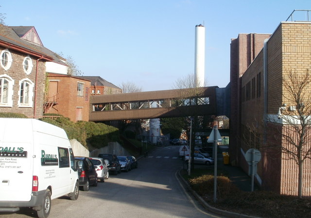
Image: © Jaggery Taken: 6 Mar 2011
The bridge connects the older part of the hospital on the left with the newer Casnewydd Unit on the right. St Woolos Hospital is on a sloping site. The northern entrance from Stow Hill http://www.geograph.org.uk/photo/1628503 is at an elevation about 15 metres (50 feet) higher than the southern entrance http://www.geograph.org.uk/photo/1473698 from Friars Road.
Images are licensed for reuse under creativecommons.org/licenses/by-sa/2.0
Image Location
Latitude
51.581156
Longitude
-3.004417