The B2067 at Ruckinge, Kent
Introduction
The photograph on this page of The B2067 at Ruckinge, Kent by nick macneill as part of the Geograph project.
The Geograph project started in 2005 with the aim of publishing, organising and preserving representative images for every square kilometre of Great Britain, Ireland and the Isle of Man.

There are currently over 7.5m images from over 14,400 individuals and you can help contribute to the project by visiting https://www.geograph.org.uk
The B2067 at Ruckinge, Kent
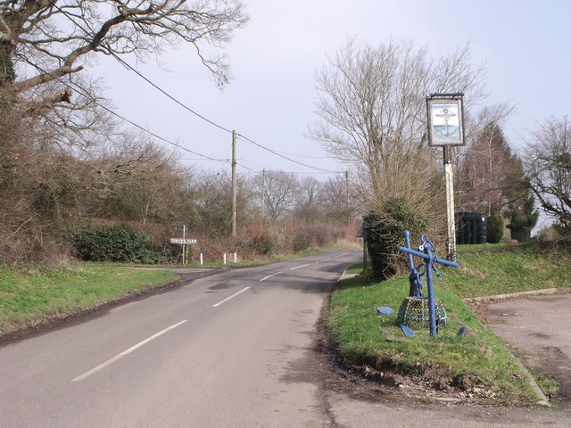
Image: © nick macneill Taken: 2 Mar 2011
The pub sign is for the Blue Anchor. This might seem an odd title for a pub so far from the sea, but in former times, before the draining of the marshes, the sea would have lapped the shores just below the village.
Images are licensed for reuse under creativecommons.org/licenses/by-sa/2.0
Image Location
Latitude
51.067196
Longitude
0.891549