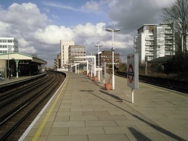
East Putney station
Introduction
The photograph on this page of East Putney station by Marathon as part of the Geograph project.
The Geograph project started in 2005 with the aim of publishing, organising and preserving representative images for every square kilometre of Great Britain, Ireland and the Isle of Man.
There are currently over 7.5m images from over 14,400 individuals and you can help contribute to the project by visiting https://www.geograph.org.uk

Image: © Marathon Taken: 16 Feb 2011
The station was opened by the Metropolitan District Railway in 1889 on an extension from Putney Bridge station to Wimbledon. District Line trains now run along the two left hand tracks. The right hand tracks are used by empty stock trains or occasional diversions by Southwest Trains when the line between Wimbledon and Clapham Junction needs to be avoided. The disused platform on the right hand side of the photograph was last used by stopping passenger trains in 1941.

