Clwyd Street, Ruthin
Introduction
The photograph on this page of Clwyd Street, Ruthin by Stephen McKay as part of the Geograph project.
The Geograph project started in 2005 with the aim of publishing, organising and preserving representative images for every square kilometre of Great Britain, Ireland and the Isle of Man.

There are currently over 7.5m images from over 14,400 individuals and you can help contribute to the project by visiting https://www.geograph.org.uk
Clwyd Street, Ruthin
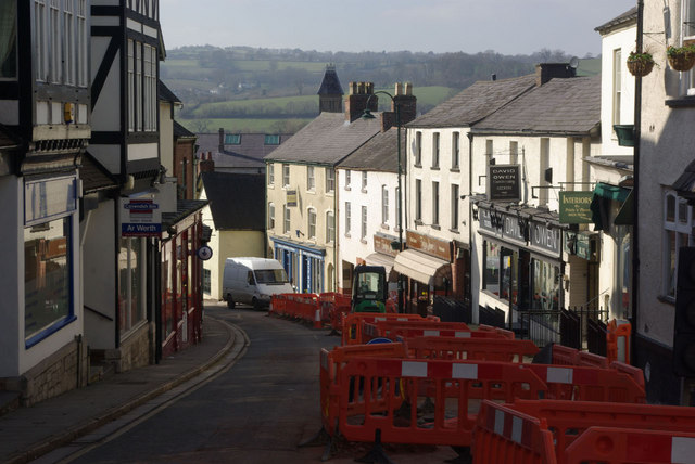
Image: © Stephen McKay Taken: 7 Mar 2011
Road works are taking place here near the top end of Clwyd Street, seen as it sweeps down to the river. The centre of Ruthin, built on high ground, offers views across the surrounding countryside.
Images are licensed for reuse under creativecommons.org/licenses/by-sa/2.0
Image Location
Latitude
53.114285
Longitude
-3.311712