Bolton Farmhouse, Melmerby
Introduction
The photograph on this page of Bolton Farmhouse, Melmerby by Trevor Littlewood as part of the Geograph project.
The Geograph project started in 2005 with the aim of publishing, organising and preserving representative images for every square kilometre of Great Britain, Ireland and the Isle of Man.

There are currently over 7.5m images from over 14,400 individuals and you can help contribute to the project by visiting https://www.geograph.org.uk
Bolton Farmhouse, Melmerby
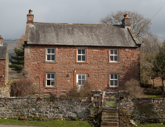
Image: © Trevor Littlewood Taken: 8 Mar 2011
Melmerby is a village lying at the foot of the Eden slope of the northern Pennines, its buildings are largely constructed of the local red sandstone, as here at Bolton Farmhouse.
Images are licensed for reuse under creativecommons.org/licenses/by-sa/2.0
Image Location
Latitude
54.730374
Longitude
-2.598276