Coventry-Lower Hill Street
Introduction
The photograph on this page of Coventry-Lower Hill Street by Ian Rob as part of the Geograph project.
The Geograph project started in 2005 with the aim of publishing, organising and preserving representative images for every square kilometre of Great Britain, Ireland and the Isle of Man.

There are currently over 7.5m images from over 14,400 individuals and you can help contribute to the project by visiting https://www.geograph.org.uk
Coventry-Lower Hill Street
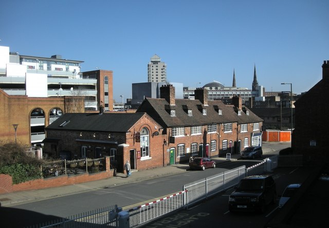
Image: © Ian Rob Taken: 7 Mar 2011
A view of the City Centre from the steps leading up to the foot/cycle bridge which crosses the Ring road to Upper Hill Street.
Images are licensed for reuse under creativecommons.org/licenses/by-sa/2.0
Image Location


Leaflet Map data © OpenStreetMap
Latitude
52.409907
Longitude
-1.517035