View over New Clipstone
Introduction
The photograph on this page of View over New Clipstone by Ashley Dace as part of the Geograph project.
The Geograph project started in 2005 with the aim of publishing, organising and preserving representative images for every square kilometre of Great Britain, Ireland and the Isle of Man.

There are currently over 7.5m images from over 14,400 individuals and you can help contribute to the project by visiting https://www.geograph.org.uk
View over New Clipstone
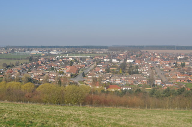
Image: © Ashley Dace Taken: 8 Mar 2011
From the colliery spoil heap (now a country park) the new village can be seen to the left. Even though the pit closed in 2003 industrial estates between the village and Mansfield as well as a good rail service at Mansfield have meant housing growth.
Images are licensed for reuse under creativecommons.org/licenses/by-sa/2.0
Image Location
Latitude
53.158228
Longitude
-1.12717