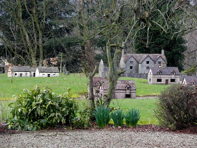
Model Village, Moneymore
Introduction
The photograph on this page of Model Village, Moneymore by Kenneth Allen as part of the Geograph project.
The Geograph project started in 2005 with the aim of publishing, organising and preserving representative images for every square kilometre of Great Britain, Ireland and the Isle of Man.
There are currently over 7.5m images from over 14,400 individuals and you can help contribute to the project by visiting https://www.geograph.org.uk

Image: © Kenneth Allen Taken: 7 Mar 2011
The model village, located off Main Street, was developed by Moneymore Heritage Trust in the late 1990s and is a 17th century, historically accurate scale model derived from Thomas Raven's 1622 map of Moneymore. As in 1622, the model buildings are placed along two intersecting streets with a market cross and stocks at the centre. The model village, complete with figures, depicts life in rural Ulster at the time of the Plantation.

