Village Hall
Introduction
The photograph on this page of Village Hall by Alan Murray-Rust as part of the Geograph project.
The Geograph project started in 2005 with the aim of publishing, organising and preserving representative images for every square kilometre of Great Britain, Ireland and the Isle of Man.

There are currently over 7.5m images from over 14,400 individuals and you can help contribute to the project by visiting https://www.geograph.org.uk
Village Hall
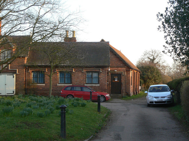
Image: © Alan Murray-Rust Taken: 6 Mar 2011
Built around 1840 by the Lucy family as a reading room/Institute, attached to the house which originally served also as Post Office. The Institute now serves as the Village Hall. Listed Grade II.
Images are licensed for reuse under creativecommons.org/licenses/by-sa/2.0
Image Location
Latitude
52.210815
Longitude
-1.628373