New apartments overlooking Stourport Basin, Worcestershire
Introduction
The photograph on this page of New apartments overlooking Stourport Basin, Worcestershire by Roger D Kidd as part of the Geograph project.
The Geograph project started in 2005 with the aim of publishing, organising and preserving representative images for every square kilometre of Great Britain, Ireland and the Isle of Man.

There are currently over 7.5m images from over 14,400 individuals and you can help contribute to the project by visiting https://www.geograph.org.uk
New apartments overlooking Stourport Basin, Worcestershire
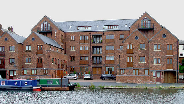
Image: © Roger D Kidd Taken: 20 Aug 2010
Stourport's Clock Basin is where the Staffordshire and Worcestershire Canal joins the River Severn by means of two broad locks or four narrow locks built as two staircase pairs. The first basin was built and opened by 1770, James Brindley being the engineer responsible. Considerable recent regeneration of the area has taken place, there now being five basins.
Images are licensed for reuse under creativecommons.org/licenses/by-sa/2.0
Image Location
Latitude
52.338872
Longitude
-2.280158