Monarch's Way at Clopton
Introduction
The photograph on this page of Monarch's Way at Clopton by Alan Murray-Rust as part of the Geograph project.
The Geograph project started in 2005 with the aim of publishing, organising and preserving representative images for every square kilometre of Great Britain, Ireland and the Isle of Man.

There are currently over 7.5m images from over 14,400 individuals and you can help contribute to the project by visiting https://www.geograph.org.uk
Monarch's Way at Clopton
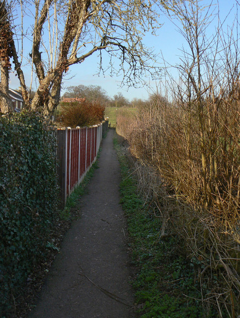
Image: © Alan Murray-Rust Taken: 6 Mar 2011
This section of footpath to the north of Maidenhead Road appears always to have been hedged or fenced on both sides. The Monarch's Way follows the route taken by Charles II after the battle of Worcester - as best as appropriate modern rights of way allow - and at 990km is the second longest waymarked footpath in England.
Images are licensed for reuse under creativecommons.org/licenses/by-sa/2.0
Image Location
Latitude
52.204011
Longitude
-1.701886