Blue Cap Road
Introduction
The photograph on this page of Blue Cap Road by Alan Murray-Rust as part of the Geograph project.
The Geograph project started in 2005 with the aim of publishing, organising and preserving representative images for every square kilometre of Great Britain, Ireland and the Isle of Man.

There are currently over 7.5m images from over 14,400 individuals and you can help contribute to the project by visiting https://www.geograph.org.uk
Blue Cap Road
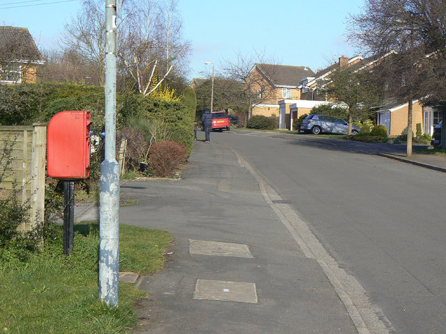
Image: © Alan Murray-Rust Taken: 6 Mar 2011
Looking northeast from Blackthorn Road. This section of the road is still identified on OS maps as a footpath right of way. The postbox is named as Blue Cap Lane ref. CV37 102.
Images are licensed for reuse under creativecommons.org/licenses/by-sa/2.0
Image Location
Latitude
52.204289
Longitude
-1.705396