Lane to Sigdon
Introduction
The photograph on this page of Lane to Sigdon by Derek Harper as part of the Geograph project.
The Geograph project started in 2005 with the aim of publishing, organising and preserving representative images for every square kilometre of Great Britain, Ireland and the Isle of Man.

There are currently over 7.5m images from over 14,400 individuals and you can help contribute to the project by visiting https://www.geograph.org.uk
Lane to Sigdon
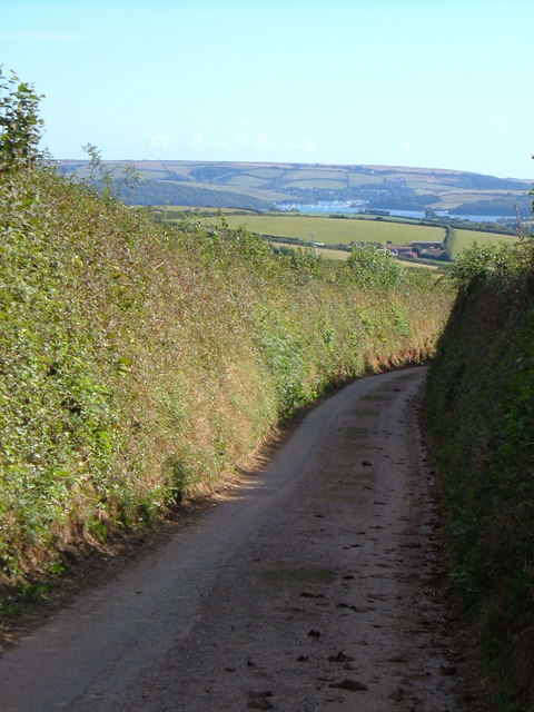
Image: © Derek Harper Taken: 24 Aug 2006
The lane from Ledstone Cross to Coombe Cross drops between hedged banks with a magnificent view of the Kingsbridge Estuary in the distance. The farm is Slade Farm.
Images are licensed for reuse under creativecommons.org/licenses/by-sa/2.0
Image Location


Leaflet Map data © OpenStreetMap
Latitude
50.305201
Longitude
-3.77197