Street in Polperro
Introduction
The photograph on this page of Street in Polperro by Derek Harper as part of the Geograph project.
The Geograph project started in 2005 with the aim of publishing, organising and preserving representative images for every square kilometre of Great Britain, Ireland and the Isle of Man.

There are currently over 7.5m images from over 14,400 individuals and you can help contribute to the project by visiting https://www.geograph.org.uk
Street in Polperro
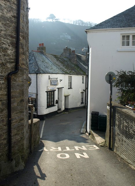
Image: © Derek Harper Taken: 4 Mar 2011
Talland Hill finishes its long steep descent, meeting Talland Street left at the start of Fore Street.
Images are licensed for reuse under creativecommons.org/licenses/by-sa/2.0
Image Location
Latitude
50.331522
Longitude
-4.519094