Old alignment, Mollins Road
Introduction
The photograph on this page of Old alignment, Mollins Road by Richard Webb as part of the Geograph project.
The Geograph project started in 2005 with the aim of publishing, organising and preserving representative images for every square kilometre of Great Britain, Ireland and the Isle of Man.

There are currently over 7.5m images from over 14,400 individuals and you can help contribute to the project by visiting https://www.geograph.org.uk
Old alignment, Mollins Road
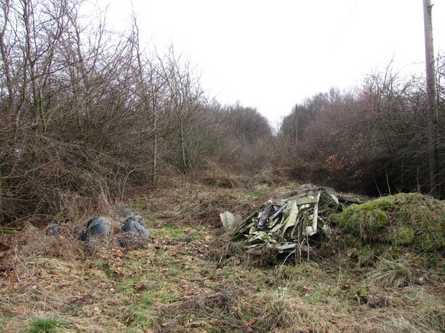
Image: © Richard Webb Taken: 4 Mar 2011
Waste land and a dumper magnet between two parallel grown out hedges. This is the old road left when a wider version was built to serve the nearby industrial estates.
Images are licensed for reuse under creativecommons.org/licenses/by-sa/2.0
Image Location
Latitude
55.938156
Longitude
-4.068041