The B2036, Cuckfield Road
Introduction
The photograph on this page of The B2036, Cuckfield Road by Dave Spicer as part of the Geograph project.
The Geograph project started in 2005 with the aim of publishing, organising and preserving representative images for every square kilometre of Great Britain, Ireland and the Isle of Man.

There are currently over 7.5m images from over 14,400 individuals and you can help contribute to the project by visiting https://www.geograph.org.uk
The B2036, Cuckfield Road
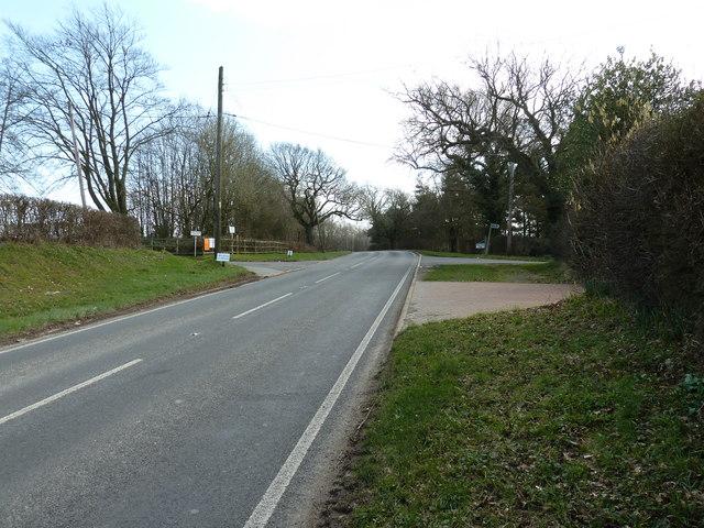
Image: © Dave Spicer Taken: 6 Mar 2011
On the left is the entrance to Lye's Farm and to the right is Paynes Place Farm.
Images are licensed for reuse under creativecommons.org/licenses/by-sa/2.0
Image Location
Latitude
50.978417
Longitude
-0.149139